Forest Fires Sending Even More Smoke Into Missoula And Bitterroot
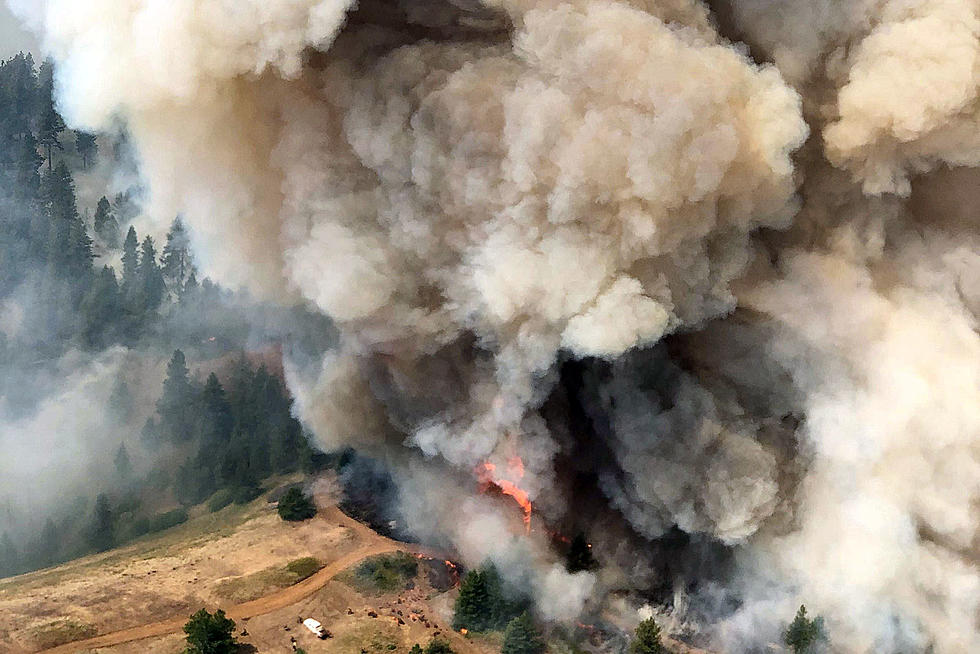
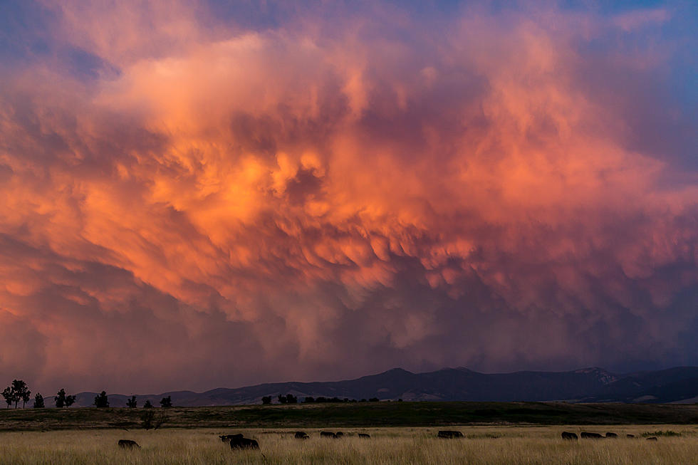
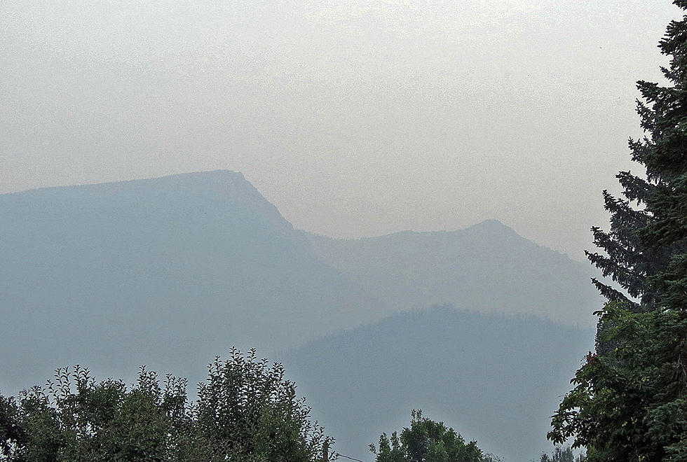
Smoke tells the story - Western Montana is filling up with area forest fire smoke. Air quality has been getting worse on a daily basis as the fires continue to grow and are joined by new lightning-caused blazes. Stage 2 fire restrictions (campfires prohibited) are becoming the norm.
In Idaho, the Snake River Complex is now over 102,000 acres and is near other large blazes in western Idaho and eastern Washington. The Dixie-Jumbo Fires are over 24,000 acres 60 miles west of the Bitterroot Valley, south of Grangeville, Idaho. At Lolo Pass, the thousand-acre Granite Pass Complex has caused closure of Lolo Pass Hot Springs and speed restrictions on US Highway 12 going over the pass into Idaho. About 30 miles north of Orofino, Idaho, the Cougar Rock Fire is over 3,360 acres in size.
Two new developments east of Missoula. The Anderson Hill Fire in Granite County is at an estimated 1,000 acres Friday, according to the Department of Natural Resources and Conservation. The Bureau of Land Management has closed Garnet Ghost Town and the area around the site, including a large number of trails and forest roads. The fire is growing in Granite, Powell and Missoula Counties. You can get the latest details on that and other fires throughout the USA at Inciweb, which is becoming a "go to" website for many of us.
In the Big Hole, on the Beaverhead-Deerlodge National Forest, the Trail Creek Fire has closed Highway 43 from the Lost Trail Pass turnoff to Wisdom. Firefighters are doing structure protection at the Big Hole National Battlefield. The Trail Creek Fire was at about 10,000 acres Friday and Alder Creek Fire near Wise River was at over 3,400 acres. The Beaverhead-Deerlodge National Forest said that the Goose Fire, about 20 miles from Ennis, is over 4,700 acres.
No campfires are allowed in most of the forest now, with Stage 2 restrictions. For more restriction information check the Montana fire info site. Be safe.
LOOK: The most expensive weather and climate disasters in recent decades
More From 96.9 Zoo FM


