Winter Snowfall Making up for Lost Time – One Fatality Reported
The National Weather Service has issued Winter Storm Warning this evening for western Montana, and then a Winter Weather Advisory overnight into Tuesday.
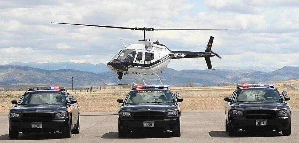
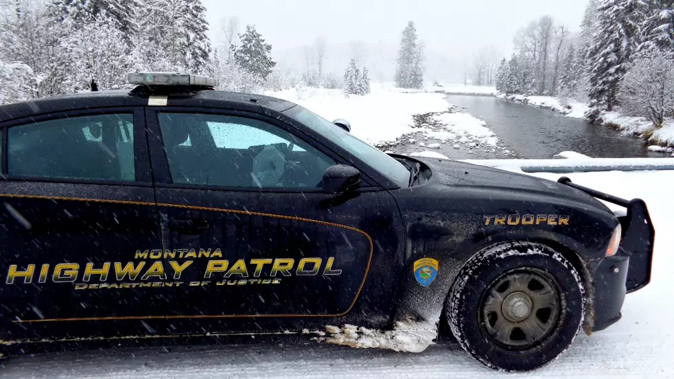
According to the Montana Highway Patrol, a one vehicle accident near the 'S' Curves between Missoula and Lolo on Highway 93 has resulted on one fatality.
Meteorologist Corby Nickerson spoke to KGVO News on Monday afternoon and described the weather system affecting the area.
“We're looking at cold arctic air and a relatively warm moist air mass riding up on over it and it's producing the classic ingredients for a good snowfall event across much of western Montana,” said Nickerson. “And now as the surface low moves to our south, we're seeing some convective snow starting to set up and that's resulting in some heavier snow, particularly in the Missoula and Bitterroot valleys.”
Nickerson said driving this evening into Tuesday morning will be extremely hazardous due to heavy snow and icy highways.
“It's going to be decidedly icy out there,” he said. “We've got kind of the perfect storm of snow dynamics that are causing things to be particularly slick. We've been cold all weekend long and for whatever roads got cleared they they've really adapted to the cold and we also got that really fine crystal and granular snow that like sugar and that's basically turned the roads to ice.”
Nickerson said this system will have legs, setting up to stay in western Montana for quite some time, making up for the dry winter we’ve had so far.
“I think this pattern sticks with us through the better part of this week,” he said. “We're going to moderate the Arctic air mass, and that's going to result in things going from smaller flakes to larger flakes to wetter flakes. But the overall weather pattern really doesn't change. We just stay under Northwest flow. The next wave that comes through is on Wednesday and really enhances things but truthfully, there's a lot of support to suggest that for the next three days, we're pretty much going to be in on and off again snow.”
Nickerson said the mountains of western and west central Montana will be receiving a great deal of heavy, wet snow.
“With this wave that's coming through all the way through Wednesday, we're looking at probably one to three feet, depending on the range and depending on where the heaviest snow typically falls in the Missions and then all throughout the Bitterroots and the Clearwater Mountains along the Idaho Montana border,” he said. “So for the next couple of days, we're looking at one to three feet of snow in the higher terrain and then after that, it's probably going to stack up to another one to three feet over the course of three days going Thursday through Saturday and into the next weekend.”
Nickerson said the temperatures will remain cold until Wednesday, when the forecast will call for highs in the 20’s.
There have been numerous slide offs and accidents reported throughout western Montana.
LOOK: A history of Black representation in movies
More From 96.9 Zoo FM