Storm Systems Could Be Enough To ‘Kick This Fire Season In The Pants’ – Says Meteorologist
Summer could be coming to a screeching halt very soon, if the forecasts from the National Weather Service for this week are accurate.
Meteorologist Corby Dickerson said what could be termed a ‘season slowing event’, is headed this way starting Thursday.
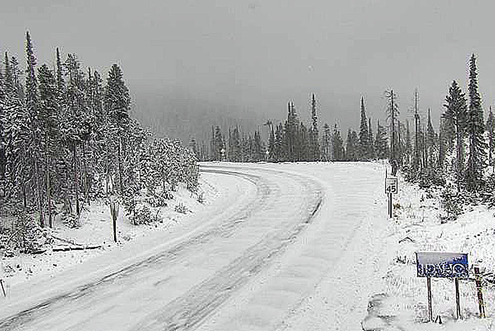
“While we may be pushing into the 80’s and even the 90’s early this week, that’s definitely going to change by Thursday and Friday,” Dickerson said. “Many places are going to be struggling to get out of the 50’s and much into the 60’s. The confidence lies best with the higher terrain along the continental divide, which will be a welcome thing, considering that’s where most of our fires are burning. Looks like a lot of places will get a half-inch of rain, maybe upwards of an inch along the higher terrain. With the cooler temperatures, there’s the possibility that snow levels could be lowering to around 6,000 feet.”
Dickerson said the western Montana valleys should also be getting some welcome rain.
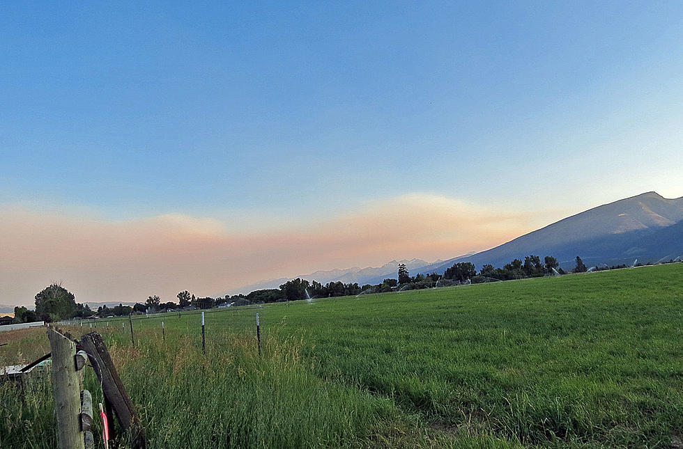
“For the Missoula and Bitterroot valleys, we feel good about a quarter or up to a half an inch of rain,” he said. “We think that it’s not just going to be a drizzle or a sprinkle, but it’s going to feel like it actually rained.”
Asked if this was the ‘season ending event’ that fire officials said would be necessary to put out the major fires in the area, Dickerson said he wouldn’t go quite that far.
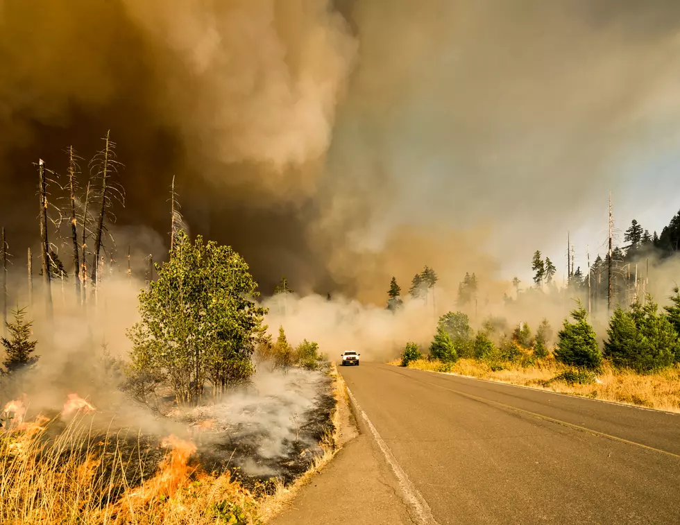
“I won’t say it’s a ‘season ending event’, but I will say it’s a ‘season slowing event’,” he said. “It looks like we’re heading into what looks like a long-term pattern change in that there’s another system on the heels of this one that appears to be coming in early next week. These two systems should be enough to really ‘kick this fire season in the pants.”
Dickerson said there could be some lightning accompanying these systems, but there will be so much moisture that there might not be much danger of new fire starts.
More From 96.9 Zoo FM
