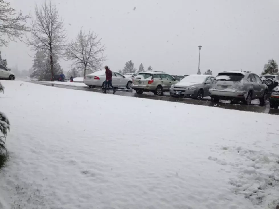
National Weather Service Predicts Winter Storm this Weekend
What the National Weather Service is calling an ‘impactful winter storm’ is scheduled to arrive on Friday and continue through the weekend.
Meteorologist Brian Conlin has details on the first winter storm of the season.
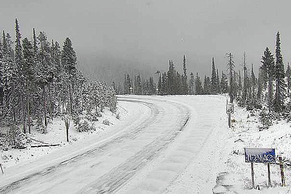
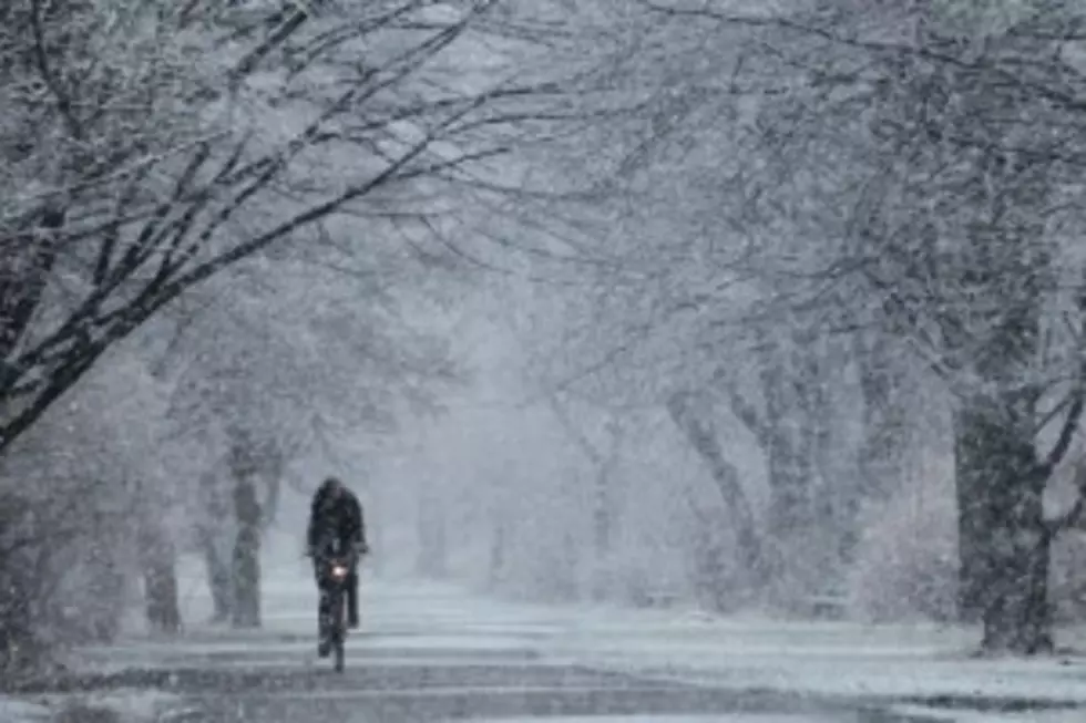
“Starting Friday we're going to start to see light snow developing across our area,” said Conlin. “Basically what's happening is we're going to have this cold air in place from this evening and then some warm moist air is going to overrun it and that's a perfect situation for western Montana to get some snow. So during the day, the snow will continue, and the best time for the snow for most of our area is going to be after six until six in the morning on Saturday.”
Conlin said that’s just the beginning in the drastic change in the weather.
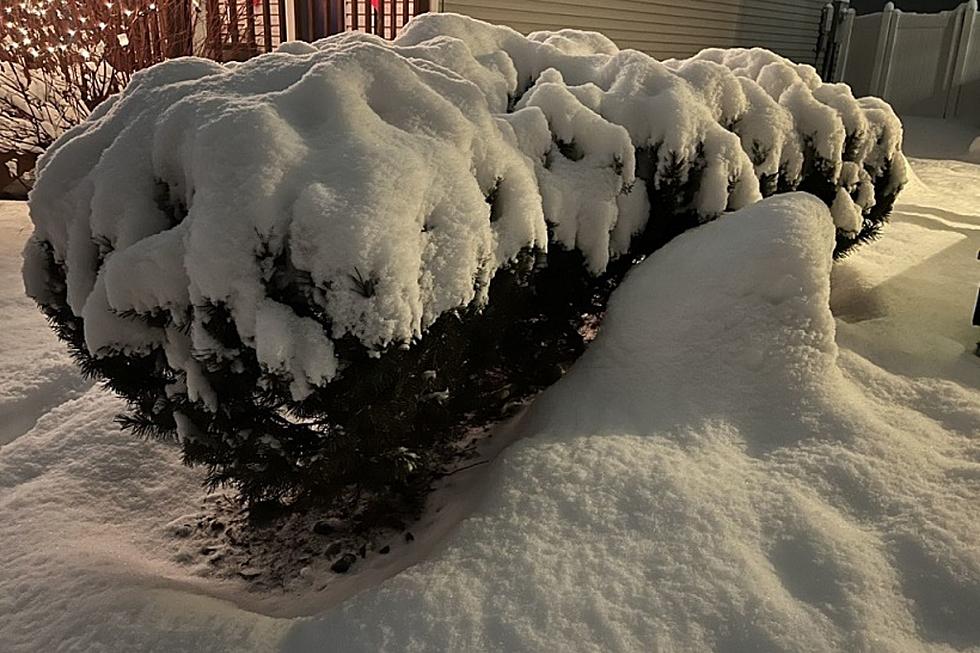
“Another shot of arctic air is going to come down,” he said. “This is going to be significantly colder than the initial arctic air that we're going to get tonight, but the snow will pretty much continue during the day Saturday from the I-90 corridor south and east as we start to get some wraparound snow as the low pushes off to the east. “Then once the snow finishes, I think everyone will get a wide range of two to five inches from most locations even down into valleys.”
Conlin said along with the wind and snow, temperatures will be bitter cold.
“By Monday morning, we’ll see low single digits for most valleys and then up along the Continental Divide, we're looking at single digit negatives up to negative 15 in southwest Montana. Specifically from Missoula, we're looking at one degree above zero on Monday morning and then south of here for those that are in the northern Bitterroot it could be in the negative two to three, four degrees.”
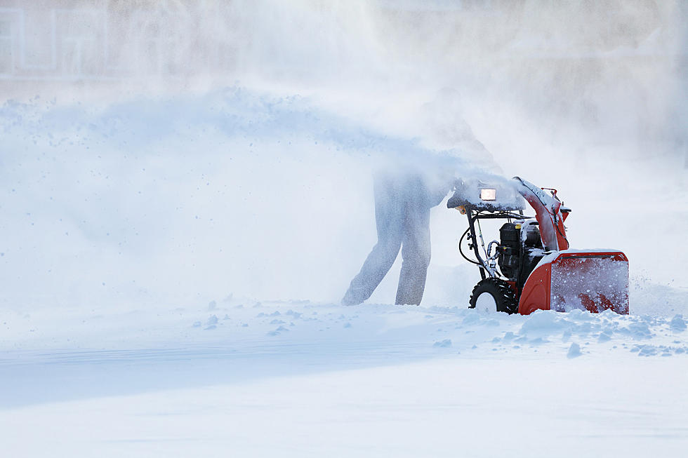
Strong east winds on Saturday will cause blowing and drifting of snow, which will cause reduced visibility.
LOOK: Here are the best small towns to live in across America
More From 96.9 Zoo FM