Museum Outdoor Display Gets Deep in Glacial Lake Missoula
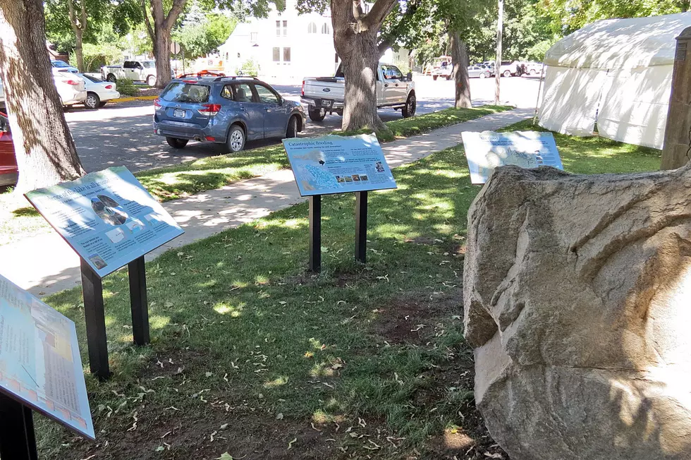
Over 10,000 years ago, if you wanted to see the display on the lawn of Hamilton's Ravalli County Museum, you would have needed scuba gear. At that time, it was under hundreds of feet of water. Glacial Lake Missoula filled the Missoula and Bitterroot Valleys because of a huge ice sheet that blocked the Clark Fork River at Lake Pend Oreille (where Sand Point, Idaho, is today). The display explains that massive body of water and the numerous huge floods it unleashed across the entire Pacific Northwest when the ice melted. Museum Director Tamar Stanley said the display has been in the planning stages for quite a while and even though the COVID-19 pandemic has prevented many activities, viewing the new exhibit is not one of them. And it's free.
She said the informational panels are set in the ground to lead your eye up toward the Bitterroot Mountain areas they describe. They provide easy-to-understand details of the evidence of numerous Lake Missoula floods that settled a geologic debate about how the Channeled Scablands of Washington and Oregon were created.
The panels are dwarfed by a huge rock that was brought to the museum lawn (thanks to Donaldson Brothers Readi-Mix) from a field just south of Hamilton. It is a Glacial Erratic. It was carved off the Bitterroot Mountains thousands of years ago by a glacier and floated on a Lake Missoula iceberg until the ice let loose and dropped it to the bottom of the lake, leaving later generations of geologists wondering how the heck it got there. If you've ever wondered why people become geologists, this single display will show you the topics that intrigue them. The Ravalli County Museum will plan a welcoming celebration at a later date, but the exhibit is ready to be viewed right now.
Goosebumps and other bodily reactions, explained
More From 96.9 Zoo FM


