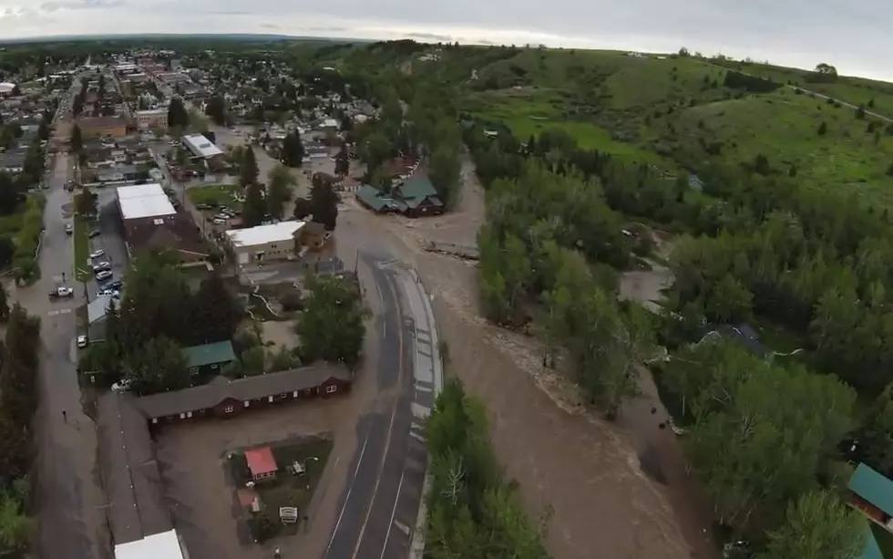

Flood Waters to Recede – Then Increase this Weekend
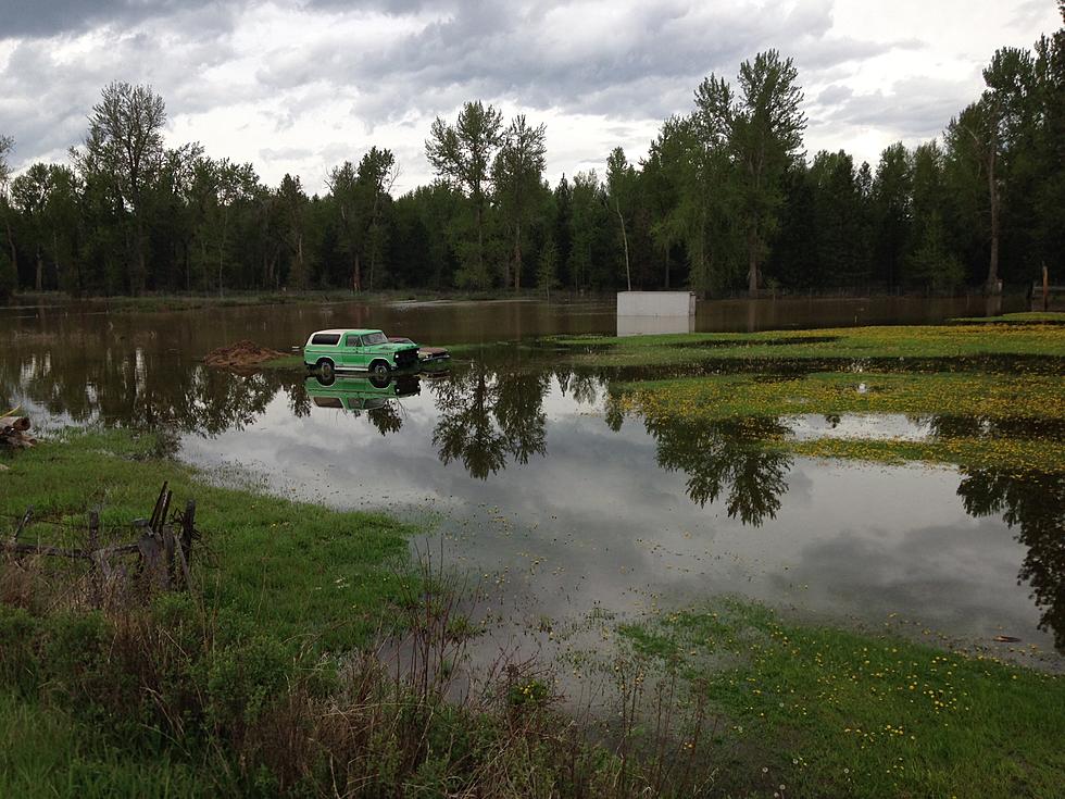
Flood waters from the overflowing Clark Fork River are expected to recede starting today, but with warming weekend temperatures, the waters could go even higher.
Meteorologist Stephanie Henry with the National Weather Service office in Missoula said the waters peaked late last night.
“Currently (5:00 a.m.) the Clark Fork River is at 10.5 feet, which is slightly lower than when it peaked at 10.8 feet earlier in the evening,” said Henry. “We were seeing impacts of flooding around the Orchard Homes area, continuing in the low lying areas of the Clark Fork. But, we are expecting the river to slowly decline today and will slowly decline by late tonight, however, it will still hover around the minor flood stage between Wednesday and Saturday.”
Henry said that might give homeowners a brief respite and time to clean up, pump water out of basements and place more sandbags, because the weekend will bring more warm temperatures.
“We are going to see some warmer, drier days ahead, which will increase the snow melt and cause some more contribution into the rivers again,” she said. “We are also beginning to see a rise in the level of the Bitterroot River, as well as other parts of western Montana. We do have a lot of snow still up in the mountains with above normal liquid in the snow pack, and all of that has to come down at some point,”
There has also been flooding reported in the Seeley Lake area.
More From 96.9 Zoo FM